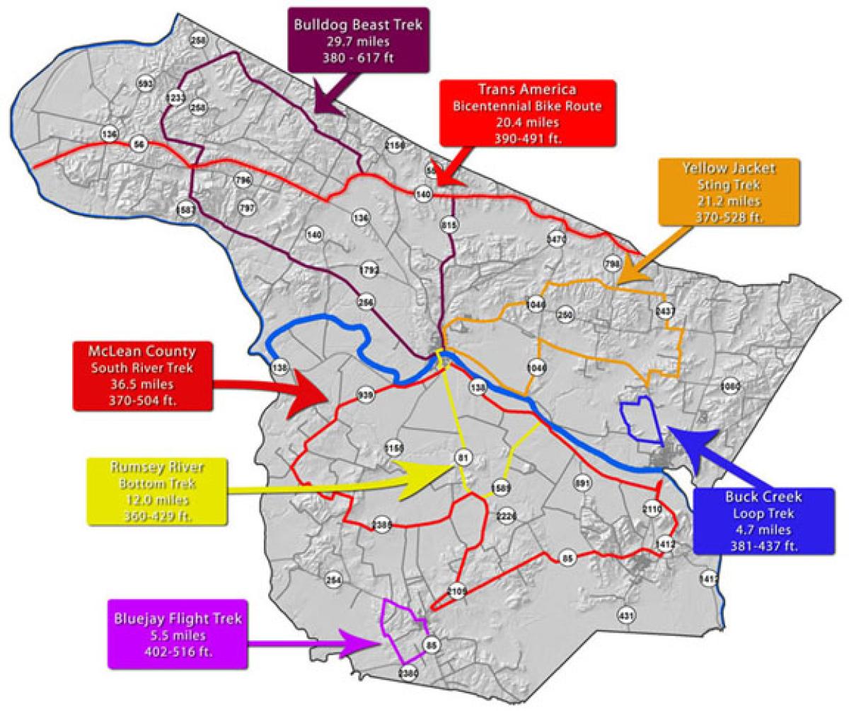
20.4 miles 390-491 ft.
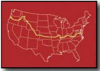
Hwy 140 and Hwy 56 through McLean County are part of the 4,247 mile TransAmerica Bicenntenial Bicycle Route across the United States from the west to the east coast. More on the Kentucky portion of the route or other bicycle trails across Kentucky.


| TransAmerica Bicentennial Bike Route | 20.4 mi 390-491 ft. |
| Bulldog Beast Trek | 29.7 mi 380-617 ft. |
| Yellow Jacket Sting Trek | 21.2 mi 370-528 ft. |
| Buck Creek Loop Trek | 4.7 mi 381-437 ft. |
| Bluejay Fight Trek | 5.5 mi 402-516 ft. |
| Rumsey River Bottom Trek | 12.0 mi 360-429 ft. |
| McLean County South River Trek | 36.5 mi 370-504 ft. |
Detailed map information with imagery and 3D data utilizing McLean County bike routes and more. View terabytes of aerial and satellite imagery in high-resolution detail by downloading Google Earth. See Below.
Detailed map information with imagery and 3D data utilizing McLean County bike routes and more. View terabytes of aerial and satellite imagery in high-resolution detail by downloading Google Earth.